

Live weather24/7 at Tranby, Grindene 365 meters above sea level
Weather Station at Tranby at 365 meters above sea level, close to the parking Kraft that are popular cross country skiing place at Vestmarka . The station is a Vantage Pro2 Plus wireless with UV, solar and evaporation, plus 24 h fan for the most accurate temperature measurement. In addition, I have a measuring stick that takes care of snow depth measurements.
WEATHERLINK - GRAPHS WEATHER- GRAFER VÆRDATA
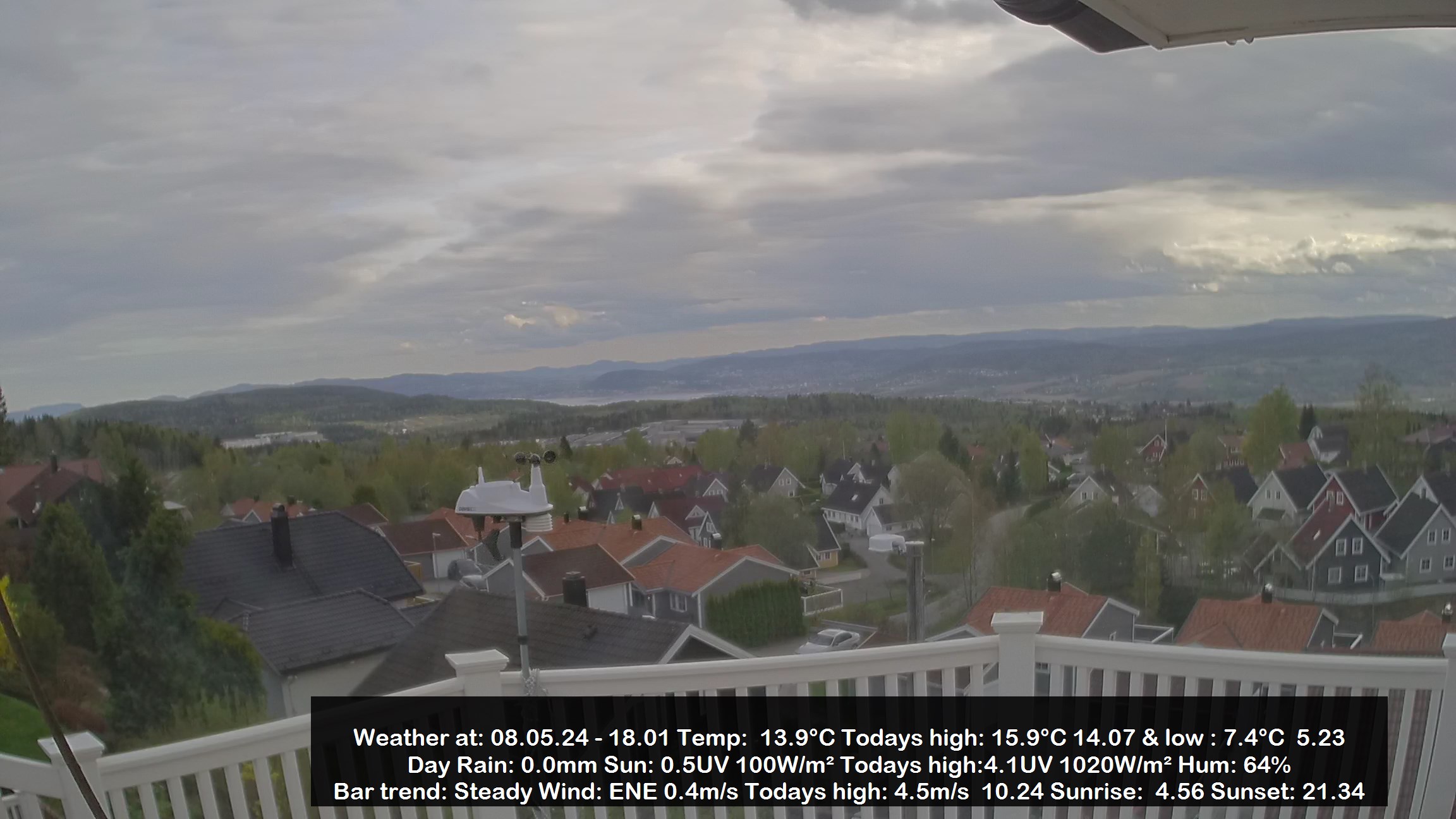
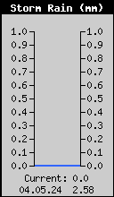
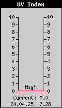
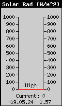
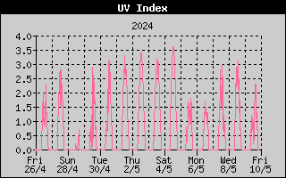
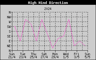
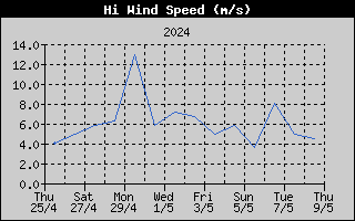
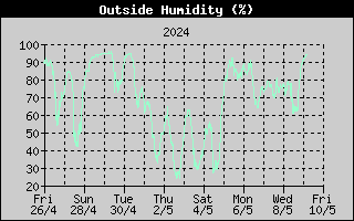
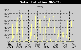
Current weather at Tranby incl UV indexs, solstråling, wind speed mm:
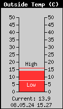
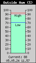
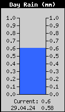
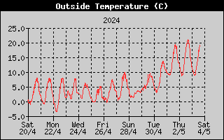
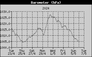
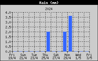
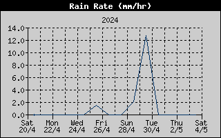
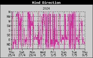
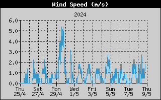
Weather this week:
AWEKASEATHERLINK - GRAFER VÆRDATA
The station is published on AWEKAS.
AWEKASis short for "AUTOMATISCHE WetterKarten System" (= automatic weather map system), and is, as the name suggests, a system that provides an overview map of weather data from the participating private weather stations.